Panorama across the 440-hectare Mount Glorious landholding in the D'Aguilar Range, Highvale
440 Hectares · D'Aguilar Range

Mount Glorious

Mount Glorious Road, Highvale · Moreton Bay, QLD 4520
A once-in-a-generation 440-hectare freehold mountain landholding in the D'Aguilar Range — rainforest, spring-fed creeks and rockpools, and panoramic ridgeline views, under an hour from the Brisbane CBD.
Expressions of InterestIM & report suite on request
440 ha
Freehold Land
Lot 3
Single Title · RP208443
130*
Indicative Lot Strategy
D'Aguilar
Adjoining Range
~40 km
To Brisbane CBD
Section 01 · The Opportunity

A 440-hectare mountain, in private hands.

Mount Glorious is a singular freehold landholding — 440.214 hectares on one title (Lot 3 on RP208443), fronting Mount Glorious Road at Highvale, high in the D'Aguilar Range yet under an hour from the Brisbane CBD. Rainforest gullies, spring-fed creeks and rockpools, open clearings and ridgelines with long views across the Samford Valley toward Brisbane and Moreton Bay.

Rarely offered and held on a single title, the property carries an unusually well-documented planning history and a recognised — though contested — pathway toward a low-density rural-residential outcome, alongside compelling lifestyle, eco-tourism, conservation and long-term land-bank futures.

Land
440.214 ha
One of the largest privately held parcels in the D'Aguilar Range.
Title
Lot 3 RP208443
Single freehold title · County of Stanley, Parish of Parker.
Setting
D'Aguilar Range
Rainforest, creeks & rockpools amid national-park country.
Access
Mt Glorious Road
Sealed-road frontage · ~40 km to the Brisbane CBD via Samford.
Potential
Rural-residential*
A subdivision pathway documented through technical studies and a P&E Court appeal.
Method of Sale
Expressions of Interest
IM and the full technical report suite available to qualified parties on request.
Section 02 · The Land
Aerial of the Mount Glorious landholding with the approximate title boundary outlined

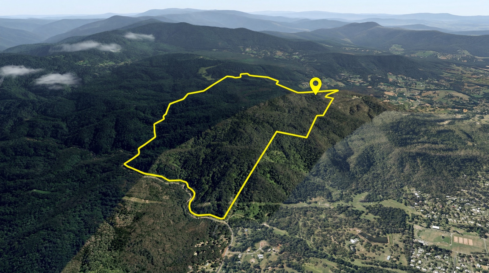
Aerial of the holding with the approximate Lot 3 boundary outlined. Indicative only — refer to the registered plan and survey.

One title. 440 hectares.

AddressMount Glorious Rd, Highvale
TitleLot 3 on RP208443
Land area440.214 ha (*approx)
TenureFreehold — single title
LocalityCounty of Stanley, Parish of Parker
LGAMoreton Bay (former Pine Rivers)
FrontageMount Glorious Road

The land rises through rainforest gullies to open ridgelines, threaded by an existing network of 4WD tracks and fire trails, with spring-fed creeks and rockpools through the gullies.

Section 03 · The Setting

Rainforest, rockpools and ridgeline views.

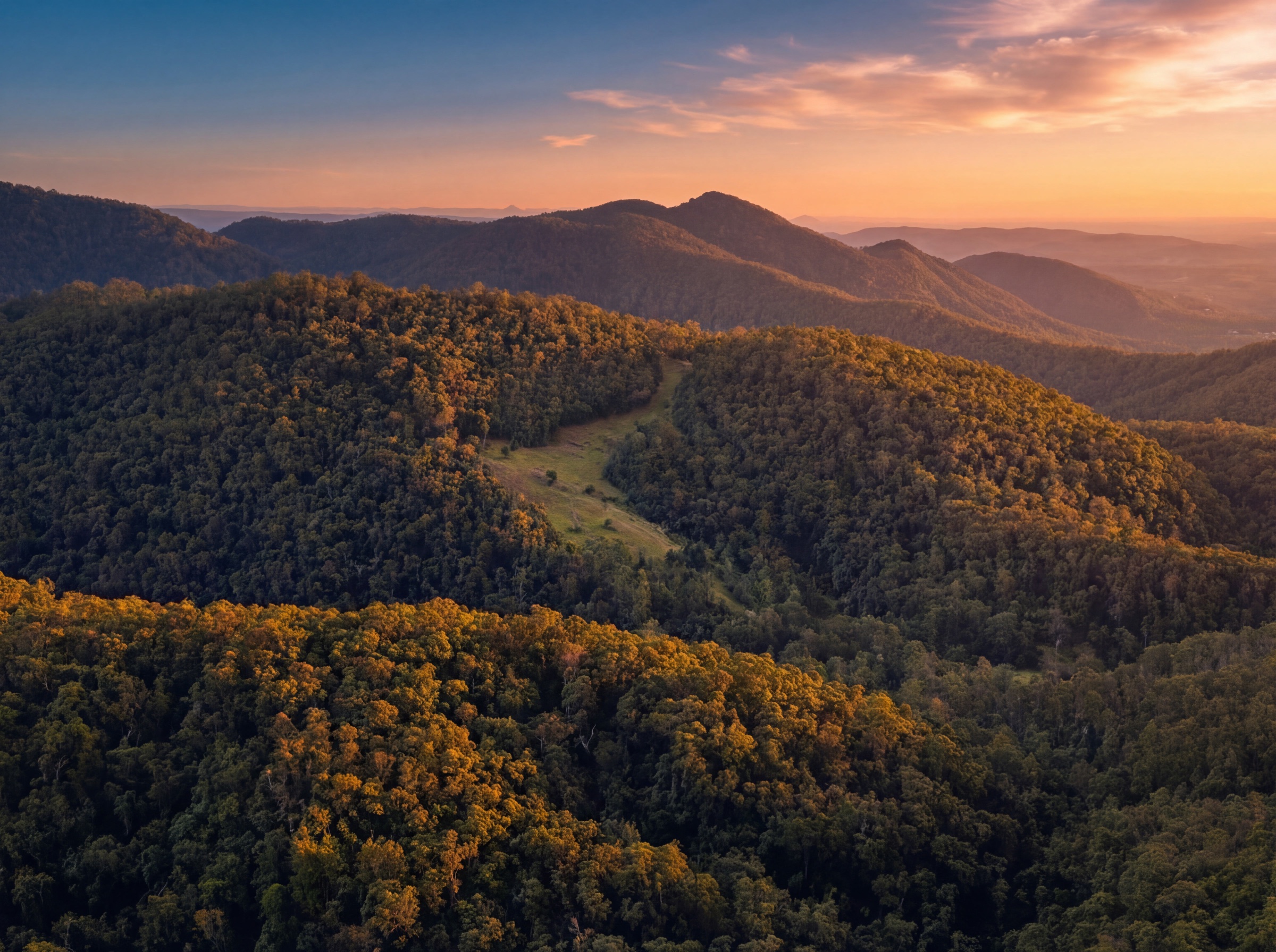
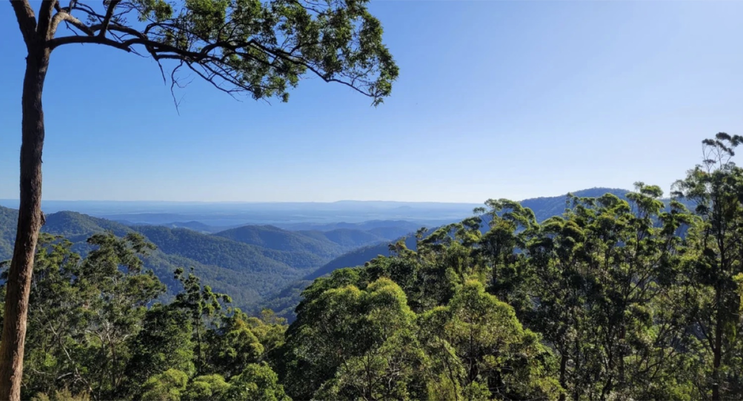
Some of the most beautiful private country in South-East Queensland — a working mountain of rainforest, water and long horizons, minutes from the lookouts of the D'Aguilar Range.

Rainforest & biodiversity

Remnant vegetation and likely rainforest communities across the gullies and slopes.

Spring-fed creeks & rockpools

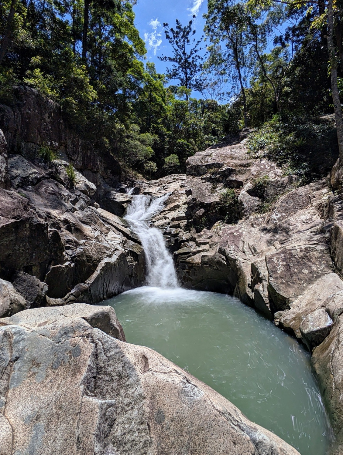
Clear, cascading watercourses and swimming holes through the property.

Panoramic ridgeline views

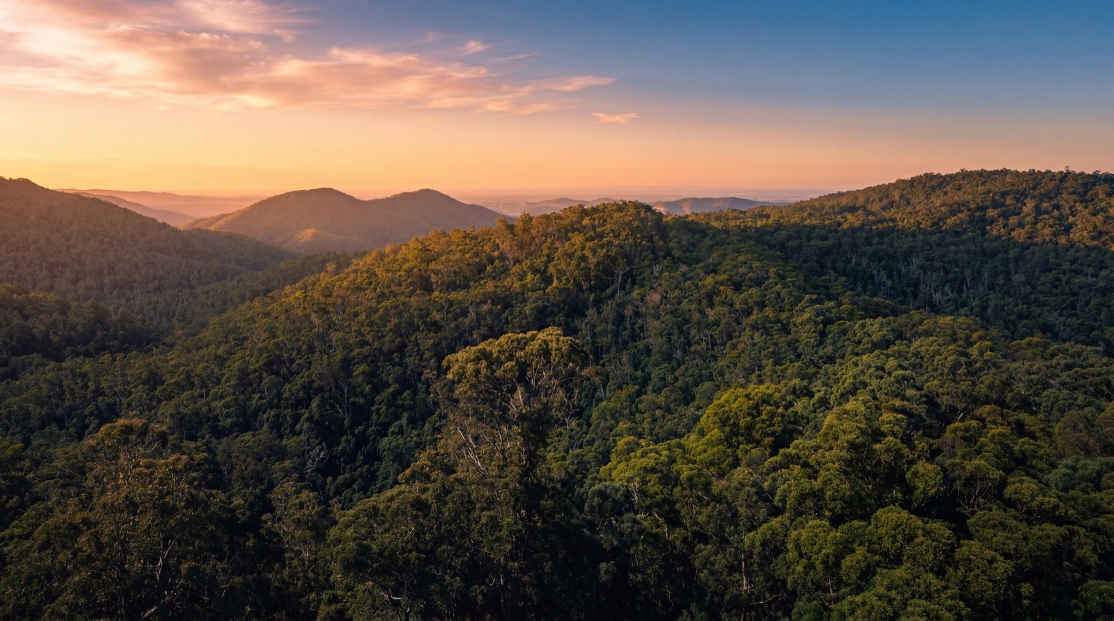
Long views across the Samford Valley toward Brisbane and Moreton Bay.

4WD track network

Existing tracks and fire trails provide working access across the holding.

A spring-fed waterfall and rockpool on the Mount Glorious property

Images of the property and the surrounding D'Aguilar Range. Some images are indicative of the locale.

Section 04 · Planning History & Potential

A documented — and contested — development pathway.

The site carries an unusually well-documented planning history. A 2002 application for a 207-lot Special Residential (rural-residential) subdivision was refused by the then Pine Rivers Shire Council in 2003; that refusal is the subject of a long-running Planning & Environment Court appeal. Independent town-planning analysis (RPS, 2012) sets out a realistic negotiated pathway.

2002
DA Lodged
207-lot Special Residential MCU
2003
Refused
Pine Rivers Shire Council
Appeal
P&E Court
BD1313/2003 · BD4569/2004
Strategy
~130
Indicative lots
RPS negotiated "core area"

Read this carefully — there is no current residential approval. The 2002 development application was refused and remains the subject of a Planning & Environment Court appeal. RPS's 2012 town-planning summary identifies ~130 allotments as a realistic negotiated "core area" outcome, with ~27.5 lots the theoretical yield at the 16 ha rural minimum and 207 lots originally sought. More recent instruments — the SEQ Regional Plan and the Pine Rivers Plan (2006) — map the land as Regional Landscape & Rural Production and are unsupportive of subdivision; any residential pathway turns on the 1998 planning scheme and a negotiated outcome with Council. A separate timber felling & milling application (DA/3607/1999) is recorded against the title. All yields and pathways are indicative and subject to renewed approval — purchasers must rely on their own planning advice and the full report suite.

Section 05 · Technical Groundwork & Due Diligence

Studied in depth across the disciplines that matter.

The holding has been assessed across the technical fields that drive a mountain subdivision — the foundation work for any renewed approval is substantially in place.

Bushfire
Bushfire Management Report (Eldon Bottcher) proposes performance-based alternatives — fuel management, a fire-trail network, defendable space and on-lot water storage — supported by a draft amended hazard map. High-hazard lots are buildable with appropriate construction and management.
Visual amenity
Assessment maps five vantage points (including Jollys Lookout). Highly visible "no-go" areas are removed and strict controls apply — building envelopes, a 5.5 m height limit, recessive colour palettes and retention of "concealing vegetation".
Ecological
Vegetation assessment (Gold Coast Botany); remnant vegetation mapped "of least concern", with possible rainforest communities to be ground-truthed — relevant to both bushfire rating and developable area.
Traffic
Traffic assessment (TTM Group): a single access to Mount Glorious Road satisfies sight-distance standards at 60 kph (clearing required to meet 80 kph); no material implication for yield.
On-site wastewater
Slope-based constraints map (Bligh Tanner): land ≤15% is best suited; >25% generally unsuitable — a key determinant of achievable lot count, confirmed by individual site assessment.
Report suite
RPS planning summary plus bushfire, visual amenity, vegetation, traffic, wastewater and constraints-review studies — available to qualified parties under the IM.
Section 06 · The Vision

More than one future.

Whether held, conserved or carefully developed, Mount Glorious is a rare canvas at scale — a private mountain within reach of a capital city.

Artist's impression of a private residence sited to capture the valley views
Artist's impression of a living space framing the mountain outlook

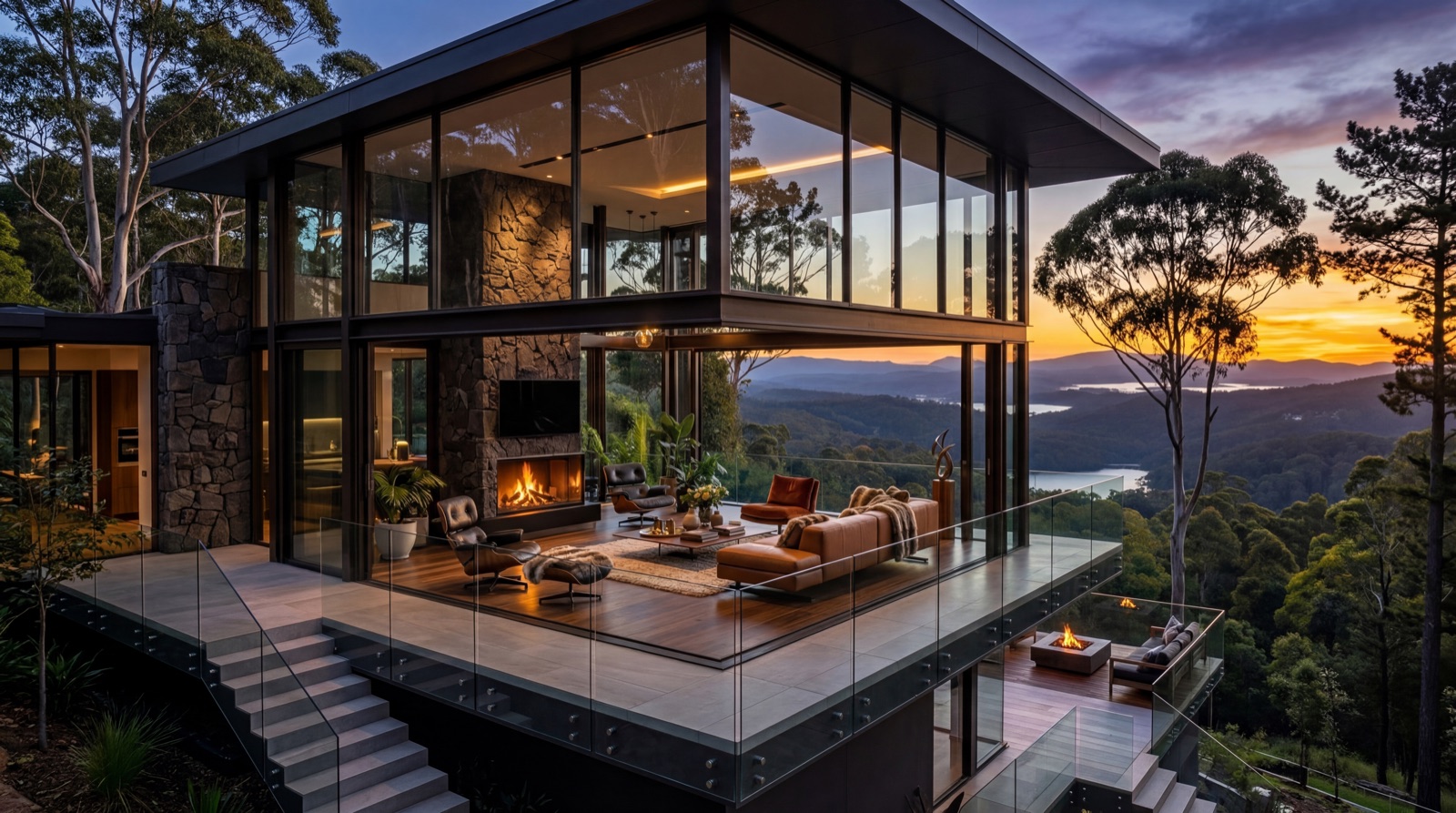
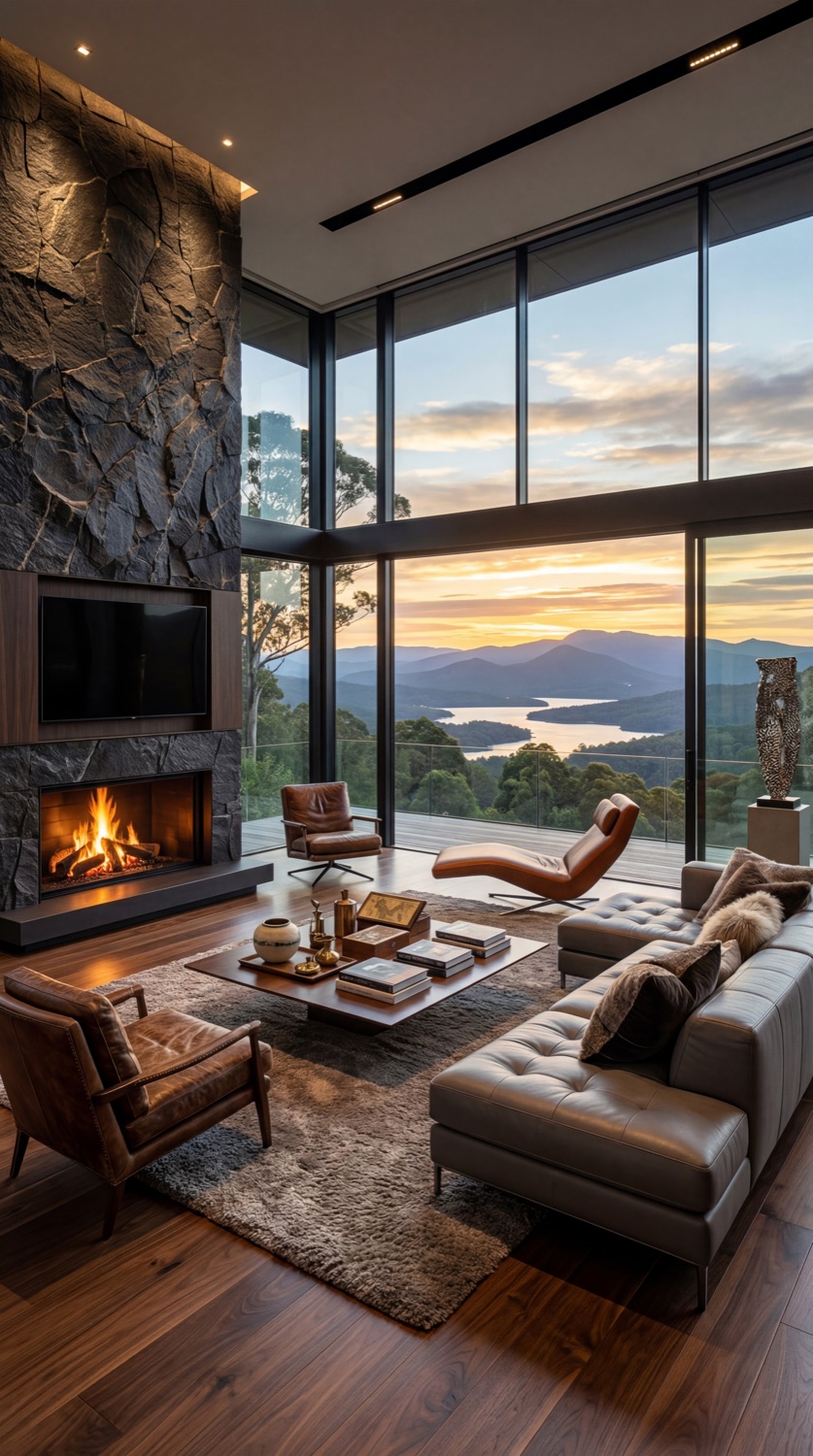
Artist's impressions — indicative of a potential private residence and lifestyle. No dwelling approval forms part of this offering.

Private mountain estate
A singular family holding and homestead at scale.
Eco-retreat & tourism
Lodge, wellness or nature-based tourism, subject to approval.
Conservation & carbon
Covenant, biodiversity and carbon opportunities at scale.
Long-term land bank
A strategic 440 ha hold in a tightly held range.
Rural-residential*
Low-density lots via a renewed / negotiated approval.
Rural & forestry
Grazing, forestry and rural pursuits today.
Section 07 · Method of Sale

Expressions of Interest.

Method of sale
Expressions of Interest. All offers to be presented — contact agent. Inspections by appointment (4WD access).
The asset
440.214 ha freehold landholding on a single title — Lot 3 on RP208443, Mount Glorious Road, Highvale QLD 4520.
Information & reports
Information Memorandum plus the RPS planning summary and supporting bushfire, visual amenity, vegetation, traffic and wastewater studies, available to qualified parties on request.
Offered by
VENDOR® Strategic Projects.
Next Steps

Register your interest

To request the Information Memorandum and data room access, arrange an inspection, or discuss the opportunity — get in touch with VENDOR Strategic Projects.

Submit a formal Letter of Offer →

— or send a general enquiry —

Goes to Tim Fowler & the VENDOR Strategic Projects team · typically a reply within one business day.